We spent 18 days and 17 nights in our
Airstream Interstate on our recent trip across parts of the United States and Canada.
 |
| This is oversimplified, especially coming back through Louisiana where we had to circumnavigate the record floods and closing of both IH-12 and IH-10. But this was the gist of it. |
Of those 17 nights, only 4 were in campgrounds, 2 of those by choice and 2 because we needed logistical support (namely the ability to leave open a back door in the steaming hot deep south, followed by a separate day which presented a need for full shower facilities). We did have the benefit of additional logistical support at a family cottage for a few of those days (e.g., laundry access), but we still chose to stay in our Interstate rather than in the cottage. The sections below summarize some take-aways from this ambitious trip.
(1) It is unhealthy to drive an Airstream Interstate 700+ miles per day, day after day. I realized this at the outset, but we wanted to try it anyway. There wasn’t much choice for us, as my family lives almost 3,000 miles to the northeast of our home in Houston Texas. Given that my husband and I are both employed, we could only take a limited amount of time for this trip – 18 days total, door to door. That meant about 8 full days of nothing but driving, dawn to dusk, and on two of those days, we drove into the night (which I do not recommend, because driving an Interstate is challenging enough under optimal conditions). Given that I normally exercise vigorously at least once every 48 hours and often more, that’s at least 4 exercise days lost which, at my age, has a detectable impact on fitness (I could feel muscle converting into fat). It added up to about 96 hours of complete immobility for each of us, which is really harsh. I worried that one of us would succumb to deep vein thrombosis (DVT). In the future, we would like to break up the trips more with activities along the way, but again, it’s difficult to do that within our work constraints.
 |
| On such a long drive, we saw far worse than that. But let me not even get started. |
(2) July and August are not great times to travel anywhere, even to northerly destinations which have cooler weather. For one thing, kids are out of school, it is peak family travel time, and the highway system is horribly congested, especially in New England. For another thing, it’s just too bloody hot. We had very good luck on our trek north, staying overnight at a state park outside Birmingham, Alabama (the only hot night, but manageable because we could open our rear door for ventilation) and then on to Woodstock Virginia where it was 74 degrees on the evening of our arrival. From there it was smooth sailing northeastward, as all weather was cool weather. But we suffered on the way back. A dome of high pressure had moved over the northeast, and from Boston on down through the Appalachians, it was as hot as it normally is in Houston, hitting nearly 100 degrees in New York City, for instance. That’s not comfortable under any conceivable Class B scenario, neither during daytime travel nor at night.
 |
| There was no predicting it. We stayed at a KOA in Toomsuba / Meridian MS right after a massive thunderstorm had come through the area. After baking half to death in Staunton Virginia the night before, we were met with cool air relief 721 miles to the southwest in Mississippi in August. We slept with the flap windows open and were perfectly comfortable all night. Who would have guessed this?! Comfortable without a/c in Mississippi in August?! |
To make matters worse regarding summer congestion, a state of emergency had been declared in Louisiana due to flooding.
 |
| Brother from another mother. Two Sprinters side by side taking on the maximum amount of diesel in central Mississippi, because neither one of us knew what we would face trying to cross Louisiana. The ambulance appeared to have been based in Lafayette, which was partly under water at the time this photo was taken. |
Both of Louisiana's east-west interstate highways (IH-12 and IH-10) were closed on the day we attempted to drive through on our return trip. This sent us hour after hour across obscure back-roads, along with every other would-be freeway traveler, whose numbers were swelled due to the summer travel season. On top of that, government convoys were everywhere. It was a nightmare.
 |
| No way no how were any of these convoys going to break formation. Their travel intentions got a bit confusing for the rest of us at times. |
(3) Our transportation infrastructure is crumbling and neglected, just like many news reports claim. We noticed a stark difference between the United States and Canada. There were no portions of the Canadian regional highway system in Nova Scotia (NS) and New Brunswick (NB) that were uncomfortably in disrepair, and driving those roads was downright relaxing. But almost all of the American system was badly in need of an overhaul. Even those freeways that were characterized by intact surfacing tended to have degraded bridge decking. I intend to write at least one blog post providing further detail.
 |
| Having a lot of time on my hands, I made up nicknames for all of the different categories of pavement and sub-base degradation. I called this one the "Delamination Disaster". More in a future post. |
(4) It’s not really possible to do much computer work in an un-modified Airstream Interstate while underway because of the condition of the highways. I was very worried about unparking my one remaining conventional hard drive with all that roughness (my other drive is optical but I’m not sure if that makes it more fragile or less). It’s one thing to have a computer turned off and stowed under such conditions. It’s another thing to impact a huge pothole while the disk is actually spinning.
 |
It's not an ordinary laptop and it would be quite costly for me if anything happened to damage it. I had a multi-chambered camp cushion that I partially inflated and placed beneath it (see this post for the development of this computer table). Then I joked to my husband that the computer was first component to get air suspension in the Interstate (he really wants air suspension; see (5) below). But even this arrangement I only used on a very small number of relatively smooth freeways.
If I can't do computer work, how am I supposed to keep my small business running across long trips? |
(5) Air suspension will be worth the financial investment for the Airstream Interstate, IF the system is proven to work. My husband and I can’t fix the aforesaid crumbling American infrastructure, but we might be able to harden our own vehicle against its ill effects. We are in the process of trying to find someone who has the air system installed on a T1N Sprinter, so that we can get a feel for its effectiveness. I’d like to try before we buy, given the substantial price tag.
(6) Small things can make a huge difference when travel conditions become intense and exhausting. My husband and I occasionally get picked on for being so thorough and meticulous about customizing our Interstate with both infrastructure improvements and accessories.
“Don’t worry – be happy and just enjoy!” is the typical refrain by some of those who prefer to pay less attention to detail in their own lives. But try, for instance, driving 14 hours in a single day without the benefit of
a side window screen to block the sun and see how you feel about the details at that point. My guess is that those details will take on an outsized importance.
 |
| Close up of the sun interference pattern through the fabric of my side window shade, the development of which is described in this post. BTW, I wasn't driving when I took this pic. I had moved it over to the passenger side. Pic taken somewhere in the Shenandoah Valley near sunset. |
 |
| Not quite as small a thing - our custom hitch carrier. I can safely say that, in almost 6,000 miles of travel, we saw absolutely nothing that even came close to it in terms of design elegance and functionality, and we saw a lot of stuff attached to the rear of vehicles - pretty much every conceivable contraption. An incredible amount of work went into this carrier, but once on the road, we could relax knowing that we had the best possible device, one that could withstand any conditions including the worst roads America could throw at us. And I think it looks cool, too. |
(7) Not all rest stops are created equally. Some of them encourage overnight parking if sleep is what the driver needs for safety reasons (e.g., those run by TxDOT in Texas, as long as you aren’t too obvious about it). Some of them prohibit, and enforce the prohibition of, overnight parking. Some of them are very bare-bones, and you’d be lucky to find a functioning toilet. Some of them have elaborate services including a 24-hour on-site safety attendant and wastewater dump stations (e.g., certain stops in Mississippi). The lesson here is that one should never base boondocking plans on rest stops unless one is certain in advance of their limitations, which vary state by state.
 |
| Well, that's not very neighborly of you, now, is it?! Not surprisingly, this was in a northeastern state. We find the northeast to be less hospitable generally. |
(8) Crackerdocking is more civilized than Wallydocking. Both allow overnight parking, but Walmart tends to attract more 18 wheelers and Class A RVs, which make more noise and pump out diesel exhaust while idling. Cracker Barrel produces a paper map showing all of its locations nationally on the front, with corresponding addresses on the back. It was the single most useful logistical instrument that we had on this trip. I swear, I think I could navigate this entire country successfully for any purpose with nothing but that one map in hand.
 |
| I never thought I'd get to the point in my life where I would experience joy every time I saw this sign. |
(9) Cracker Barrel will cook you any breakfast you want. It doesn’t have to be on the menu – you just have to ask for it. Furthermore, they do a pretty good job of it. This is a Godsend.
 |
| Spinach, green pepper, mushroom, and diced ham omelette with hash browns. Exactly what I wanted. Fresh vegetables are hard to get on the road. |
(10) Even for consummate boondockers, some campgrounds are worth paying for. Old historical campgrounds, family campgrounds, those kinds of places. Many commercial campgrounds (and public campgrounds) are nothing more than RV warehousing lots with innumerable stinky open sewer connections spaced about every 25 feet, whose owners and operators care only about the cash they can rake in. But others are gems. At
the old town campground in Parrsboro NS, I got to chat with a few local lifers who still remembered some of the same historical events as I did, including the tragic death of one of my childhood friends almost 40 years ago. It helped me reconnect with, and actually deepen an understanding of, a part of my own life I rarely have reason to contemplate these days. I never fully realized why that friend was so important to me until I revisited his memory through the lens of everything that transpired in my own life following his death. And now I appreciate and celebrate his incredibly short life more than I ever did previously.
 |
| I can't look at this view from the campground and not think of him. We had spectacular fun on a geology field trip as children, climbing the cliffs of Partridge Island in the distance and generally defying every adult in the tour group. "GET DOWN FROM THERE!" they would collectively roar at us. "Um, no," we replied with delight, knowing they could not physically reach us. It was pure magic. Plus we found better stilbite than anyone else. |
(11) Dysart’s in Bangor Maine is superb, and a model for what long-distance land voyagers need most, whether they are truckers or RVers or people engaged in specialty pursuits that require wide-ranging travel. Rather than describing Dysart’s using words, let me just draw you a map.
 |
| Seriously, what more could you possibly need?! Plus if your Sprinter breaks down in any way, they can fix that, too. |
(12) No matter how good the preparation, there will probably be system failures of some sort on cross-country van trips. In our case, it ended up being our coach’s 12 volt electrical system, which shorted out multiple times, twice requiring intervention. Fortunately we got it restored both times, and Airstream emailed me the electrical schematics so that we can deal with this in more detail upon our return. More details in a future post.
(13) There will always be unexpected supply challenges of some sort on cross-country van trips. Lo and behold, in Nova Scotia it ended up being propane, of all things. We live in the vanilla suburbs of Houston Texas, and we have two propane suppliers within about three miles of our house – it never occurred to me that there might be challenges getting it anywhere else. But at this point I’m not sure that there are two remaining RV servicers in the entire province of Nova Scotia. I intend to try to work with the NS tourism department to improve this situation, at least in terms of communications if nothing else.
 |
| It's not that friggin' difficult, as services go. A connector is screwed on, a valve is opened, and propane flows into the tank. This is what it looks like at Dysart's. |
(14) There will always be unexpected opportunities of some sort on cross-country van trips. For us, one of the biggest unexpected highlights was, shall I say, an extended visit at the Gabarus lighthouse, where we were invited to participate in a way that we had not anticipated. During our time there, we did a bit of “earning our keep” by collecting and stacking some of the construction waste and debris that the refurbishers had left strewn around the site following
its recent relocation.
 |
| This is one of my favorite photos from the entire trip. |
(15) Even if one is traveling in off-grid stealth, social opportunities will abound. We met and made friends with a number of new couples and individuals on this trip simply because traveling by camper van exposes us to the types of opportunities that would otherwise be out of reach. At one point my husband said,
“Can you imagine us having had this experience if we were staying in hotel rooms?!” Answer: no way. We have every intention of keeping in touch with those people and perhaps even collaborating with them on local projects (particularly economic development initiatives in the area where I have owned lakefront property for more than 20 years now).
(16) Certain goods and services in Canada are absurdly expensive by American standards. Cellular data is about $2.00 per megabyte (via my regular American carrier which is Verizon). Even if I cut my usage down to the bare minimum, it would still be hundreds of dollars to access maps, sourcing information, etc. It’s out of the question and so what tourists do is crowd around public internet hotspots to use the free wireless (with
Tim Horton’s being the hands-down preferred destination - Timmies! Timmies!). Depending on the nature of the travel, this can be very inefficient. Our civilization survived for hundreds of years without Googlemaps, but life was a lot simpler back then, too. We need it now for everyday functions that have migrated almost entire to the web (such as local vendor identification).
The other unexpected commodity shock was ice. In our part of Texas, bagged ice costs about USD $0.08 per pound. Throughout NS, we consistently saw CDN $0.70 per pound – more than five times the cost when the current exchange rate is factored in! That expense became non-trivial as I was keeping our Yeti 50 cooler packed with ice en route to Ingonish NS, where we were rendezvousing with family at a cottage. We had started out from Houston with dry ice, but after that got done subliming itself away, we switched to water ice. Given that our cooler is custom-mounted on the outside of the van, we used a lot of ice (hotter out there than in the air conditioned interior, as it was during our 2014 trip by minivan).
And yet another high price was that charged for wastewater dump services – CDN$38.00 at the Cape Breton Highlands National Park
Broad Cove campground, which is the only place we could locate that would offer the service (same price as a full-hookup reservation, in other words). Fortunately we only had to dump once during our entire stay in Canada. Segregating “lightly used” toilet paper for trash disposal (an idea that was floated on Air Forums recently) helped to reduce the volume and minimized costs.
(17) Advance planning pays off. As in 2014, I had the luxury of having a family vacation without the burden of cooking, because of the cache of home-made frozen food that we had hauled from parts south. Hauling it then was easy because we simply put our Yeti cooler inside our minivan. No such convenience was possible with our Interstate, and the massive amount of time and energy we spent designing and executing our custom hitch carrier seemed a bit questionable right up until the moment when I was staring at the stove and saw the likes of this.
 |
| OMG, I'm on vacation and I don't have to cook for 4 adults! What a treat, again! Mexican stew served many, many miles from its point of origin. |
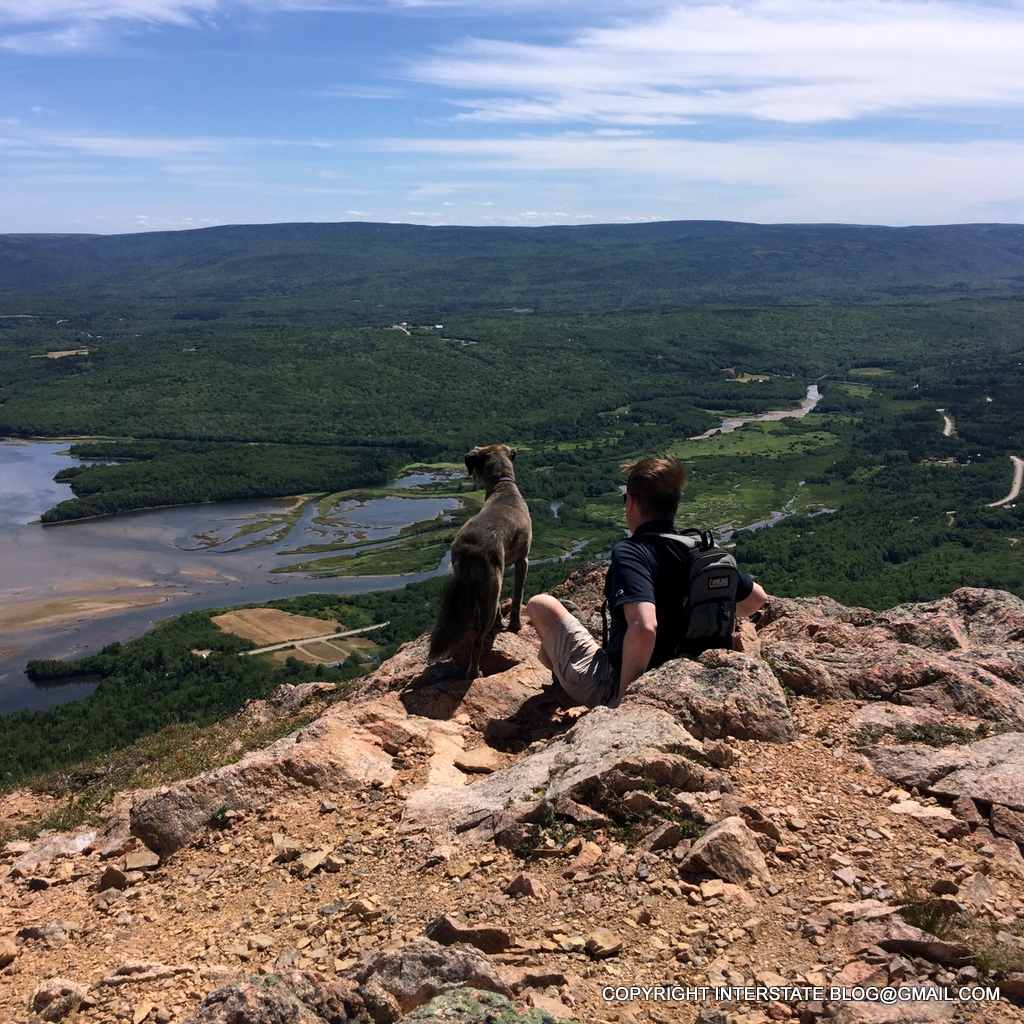
(18) There’s nothing as versatile as a van for going and doing, and changing plans on the fly. We were dismayed to learn that the eastern half of the Cape Breton Highlands National Park was closed for recreation starting on Thursday August 11, 2016. We had several additional hikes planned prior to leaving, but we hit the highway a day early due to the closure. You can’t do that with an airline ticket.
 |
| Our 10-year-old Sprinter functioned flawlessly across almost 6,000 miles, and in many places, it got the crap kicked out of it by the condition of the roads. Pretty impressive vehicle! |